File:Nigeria Map 2010.jpg
From WikiEducator
Size of this preview: 793 × 599 pixels. Other resolutions: 794 × 600 pixels | 3,152 × 2,382 pixels.
Original file (3,152 × 2,382 pixels, file size: 682 KB, MIME type: image/jpeg)
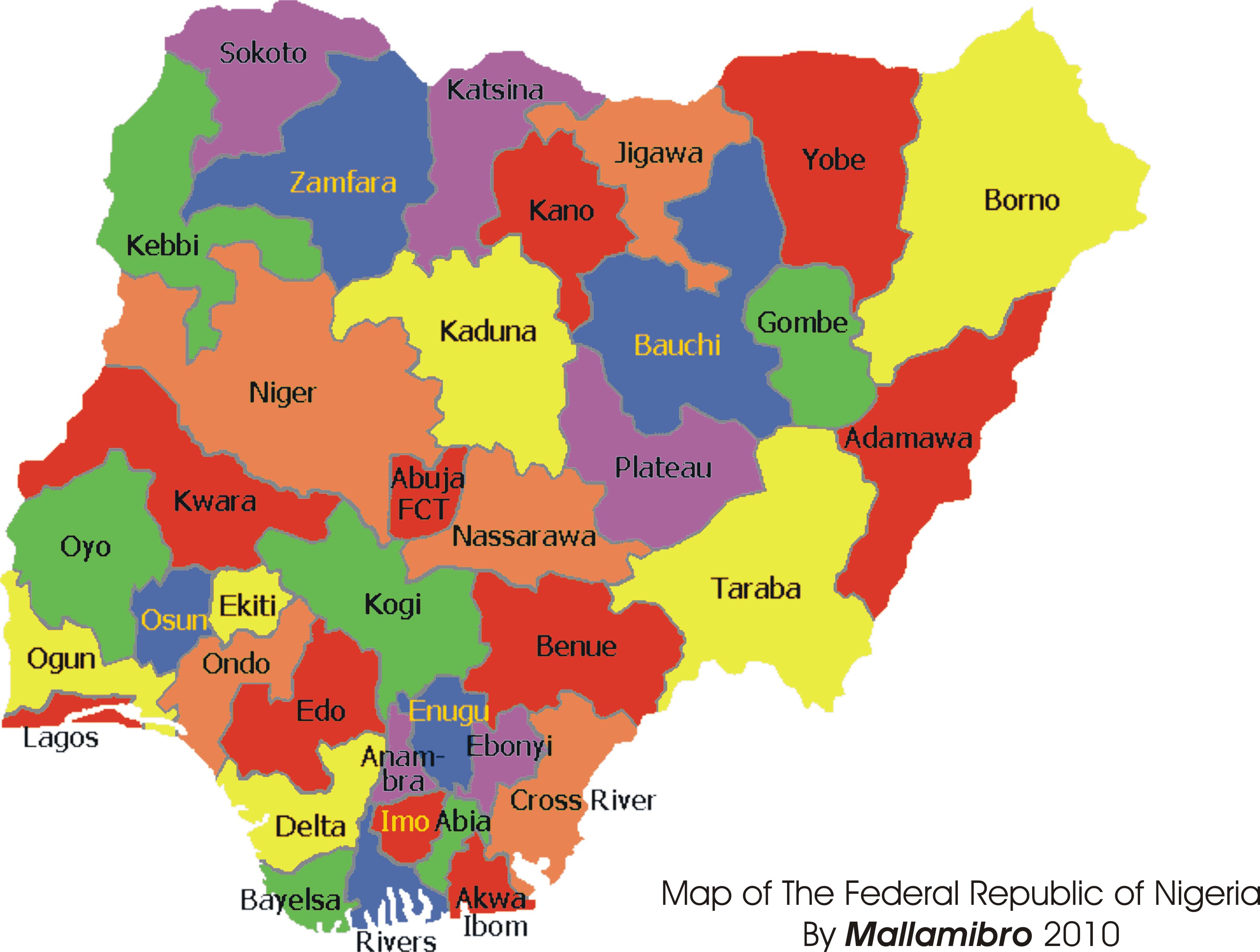
Map of Nigeria showing the 36 States of the Federation and the Federal capital.
File history
Click on a date/time to view the file as it appeared at that time.
| Date/Time | Thumbnail | Dimensions | User | Comment | |
|---|---|---|---|---|---|
| current | 23:46, 16 February 2010 | | 3,152 × 2,382 (682 KB) | Mallamibro (Talk | contribs) | Map of Nigeria showing the 36 States of the Federation and the Federal capital. |
- You cannot overwrite this file.
File usage
The following page links to this file: